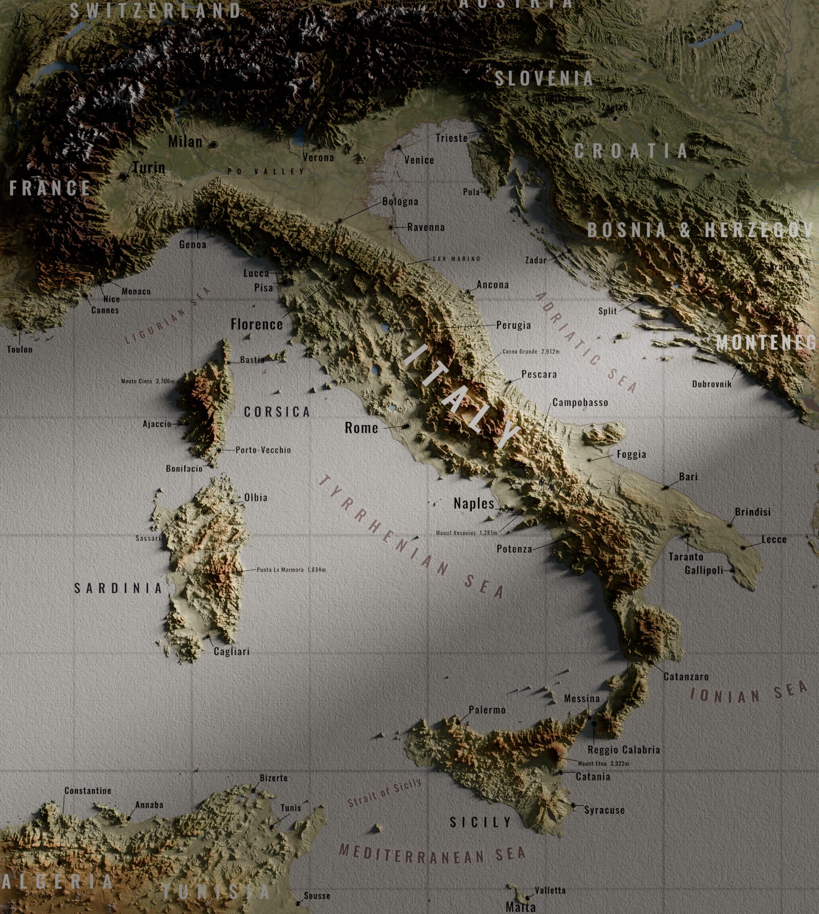
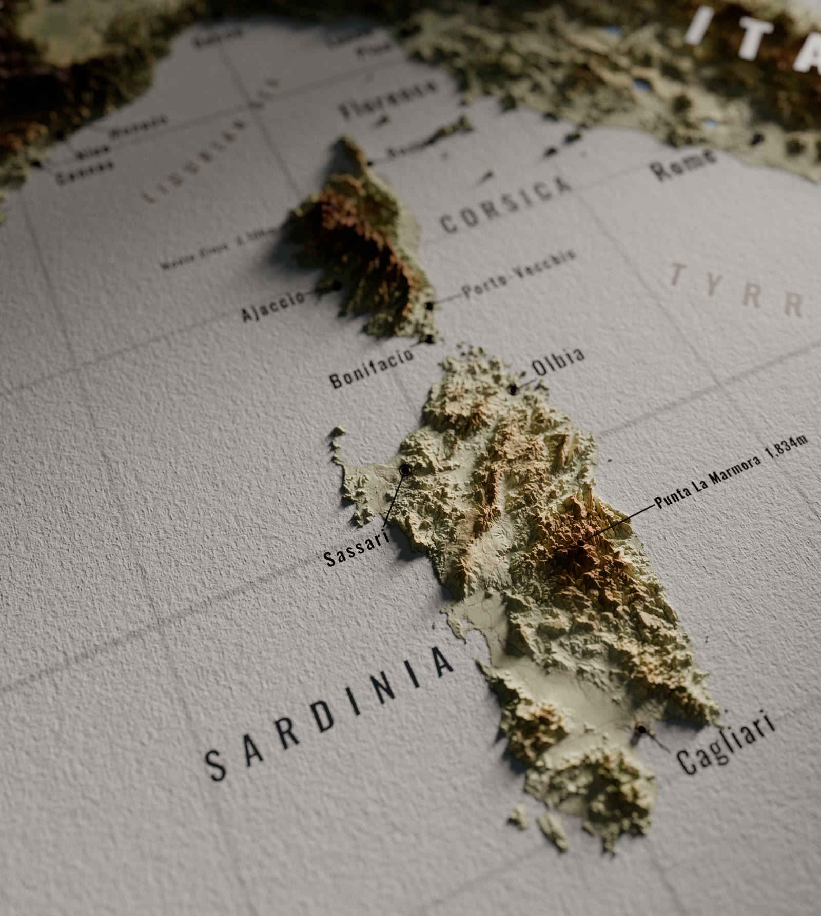
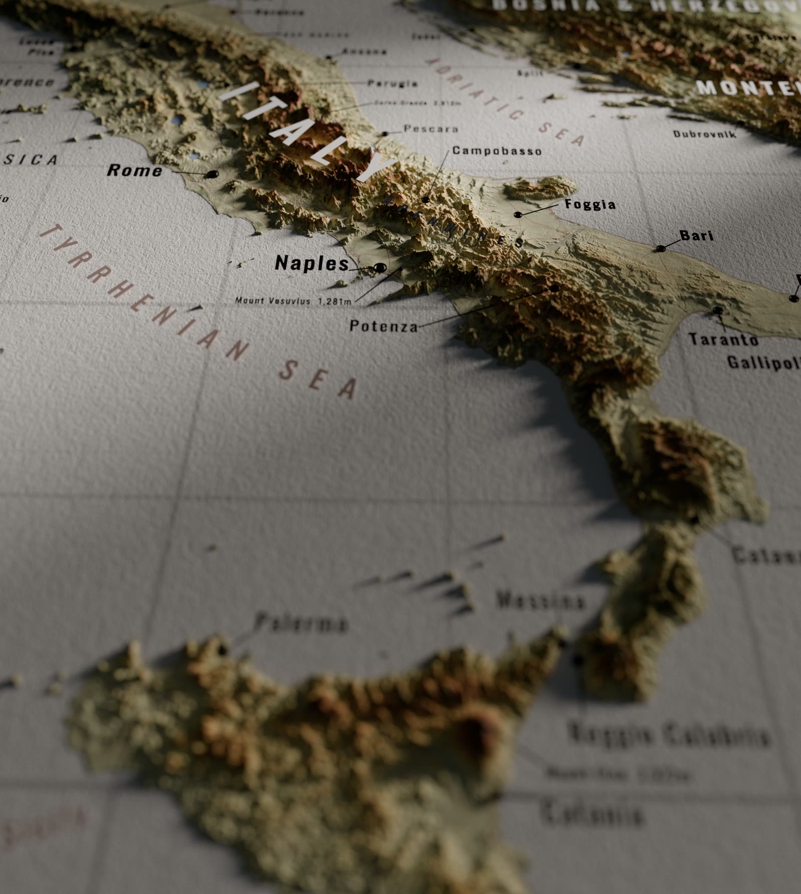
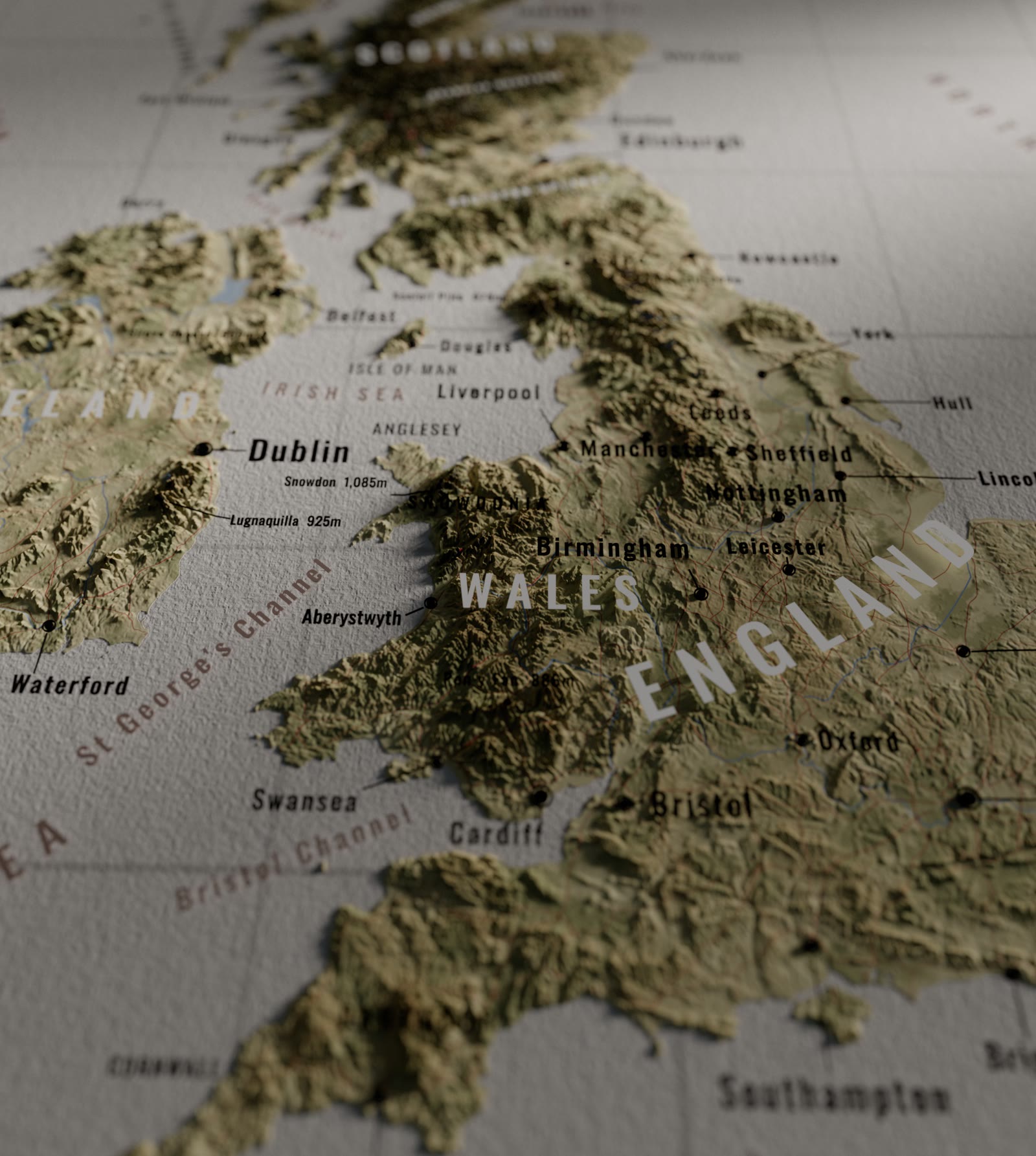
I wanted to create a terrain that was modular and easy to change, and that felt like a tangible object as opposed to a screen. I used real displaced geometry, a watercolour paper texture and some dramatic lighting. I also included soft lines for the major roads.
Paper relief maps
Elevation data turned into physical-feeling terrain.
The approach
Terrain from elevation data, displaced and textured in 3D so it looks like a physical object.
Colour. Natural colours, kept desaturated so the type stays readable on top.
Built to be reused
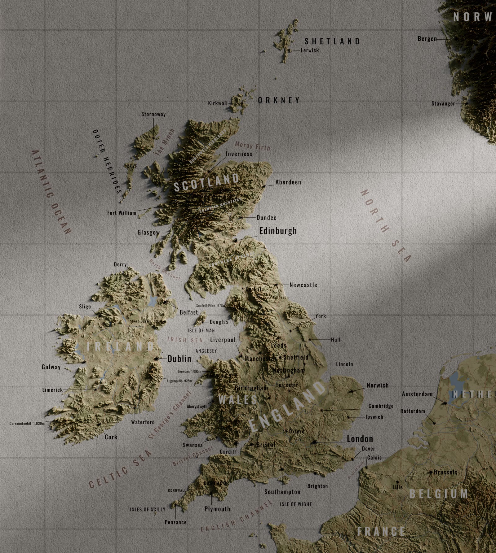
The whole scene is modular and makes it possible to ingest new data easily, without having to rebuild it entirely.